
High-Accuracy Mapping for Global Reforestation
According to World Meteorological Organization (WMO), a study shows that there is a 50:50 chance of the annual average global temperature temporarily reaching 1.5 °C above the pre-industrial level for at least one of the next five years, an indicator at which climate changes will become increasingly harmful for people and the entire planet.
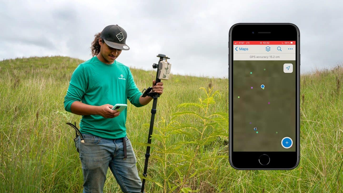
Today, more individuals and organisations are finding ways how to fight climate change and solve the climate crisis. “Forest restoration is one of the most effective and immediately scalable solutions that we have for fighting climate change,” said Yishan Wong, founder of the Hawaiian forest restoration – Terraformation. To overcome these challenges, Terraformation integrated advanced Digital Mapping technologies into its reforestation operations and started using Eos Arrow 100+ GNSS receiver with Esri’s ArcGIS Field Maps.
The integration of Digital Maps revolutionised Terraformation’s reforestation initiatives, leading to measurable, positive environmental outcomes. Discover how Terraformation used Digital Maps in creating an ecosystem that will effectively help limit global warming.
Read the full article here.