
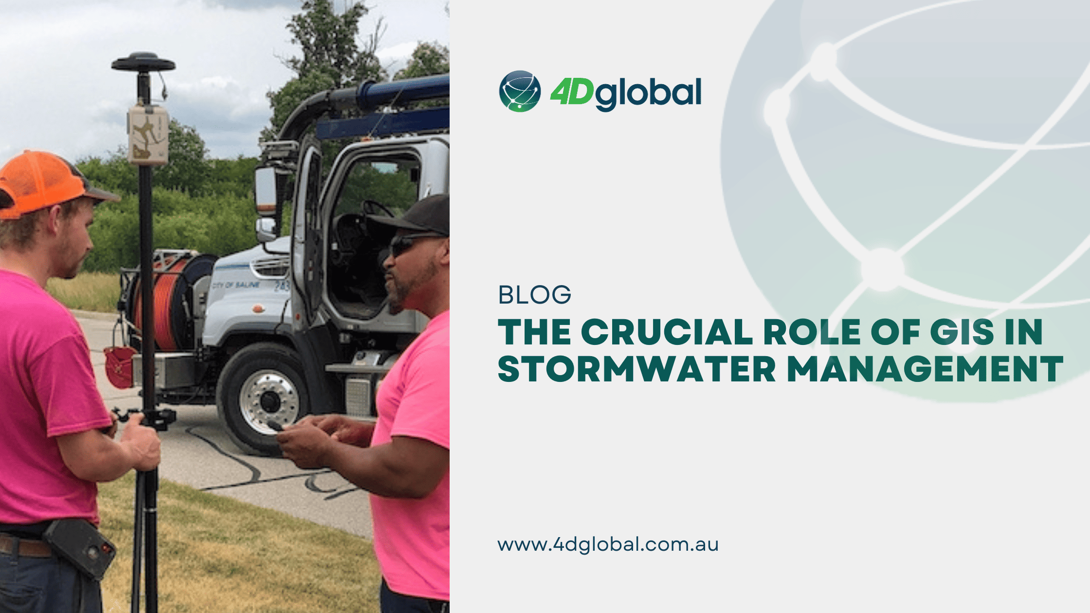
Image source: https://eos-gnss.com/successes/city-of-saline
The Crucial Role of GIS in Stormwater Management
Stormwater management is a complex undertaking. It involves controlling runoff to prevent flooding, safeguarding water quality, and complying with environmental regulations. Accurate and up-to-date information is the cornerstone of effective stormwater management. This is where GIS comes into play.
Data Accuracy GIS allows municipalities to create detailed maps of their stormwater infrastructure, including pipes, drains, and retention ponds. The accuracy of these maps is critical for understanding how water flows through the system and identifying potential issues.
Efficient Decision-Making
GIS provides decision-makers with a visual representation of the stormwater system. This enables them to make informed choices about maintenance, repairs, and improvements. It also facilitates effective communication among departments and stakeholders.
Compliance and Reporting
Environmental regulations often require municipalities to monitor and report on stormwater quality. GIS can streamline this process by tracking water quality data, pollutant sources, and compliance with permits.
The Eos Arrow Gold GNSS Receiver Advantage
While GIS is a powerful tool, its effectiveness hinges on the accuracy of the data it relies on. This is where the Eos Arrow Gold GNSS receiver comes into play. Here’s why it’s a game-changer for field data collection in stormwater management:
- High-Accuracy Location Data: The Arrow Gold GNSS receiver delivers real-time centimetre-level location accuracy. This precision is crucial for mapping stormwater assets precisely and calculating the grade of a pipe for effective hydrological modeling.
- Real-Time Differential Corrections: The Arrow Gold GNSS receiver can use real-time differential corrections from sources like a CORSNet providing down-to-centimetre accuracy. For mapping pits, Arrow Gold can use the Southern Positioning Augmentation Network (SouthPAN) for sub-metre accuracy without a connection to the internet. This ensures that the field data collected is consistently accurate and up to date.
- Ease of Use: The Eos Arrow hardware is designed for ease of use. With only 2 buttons, one is the On/Off button and the other tells you the battery level. Everything else is done through the user’s software. This makes data collection more efficient and accessible to all team members as they can now concentrate on their project and not their hardware.
- Quality Control: The Arrow GNSS provides a range of messages to the user’s software. Programs such as ESRI Field Maps can use those messages including quality messages recording Meta Data against each logged location. These messages also provide real-time information on accuracy such that decisions can be made in challenging areas where accuracy may drift. This allows for immediate quality control, ensuring that data accuracy is maintained throughout the data collection process.
Benefits of Accurate GIS Data in Stormwater Management
The benefits of using the Eos Arrow Gold GNSS receiver and accurate GIS data in stormwater management are far-reaching:
- Faster Response to Issues: Accurate GIS data enables field crews to pinpoint the exact location of problems, such as clogged drains or damaged pipes, reducing response times and minimising potential damage.
- Cost Savings: By accurately tracking stormwater assets and their condition, municipalities can optimise maintenance schedules, reduce unnecessary repairs, and allocate resources more efficiently, resulting in significant cost savings.
- Environmental Protection: Precise GIS data helps ensure that stormwater runoff is managed effectively, protecting local water bodies from pollutants and safeguarding the environment.
- Regulatory Compliance: Accurate GIS data simplifies compliance with stormwater regulations, reducing the risk of fines and legal issues.
- Planning: As municipalities grow, extensions to networks become inevitable and calculation for capacity to integrate into the existing infrastructure need to be assessed.
- Valuation: Many councils need to value the asset and knowing what they have and the condition, makes this a far easier process.
In the Eos’ Success Story, the City of Saline’s journey to modernize its stormwater management with GIS data and the Eos Arrow Gold GNSS receiver illustrates the transformative potential of technology in municipal operations. Accurate GIS data is not just a tool; it’s a catalyst for better decision-making, cost savings, and environmental protection. For municipalities looking to enhance their stormwater management, investing in GIS and high-accuracy GNSS receivers is a step in the right direction toward a more resilient and sustainable future. Read the full article here.