A leading expert in GNSS technologies with over 36 years of experience, has traveled the world identifying cutting-edge solutions for asset management. His extensive knowledge led him to the Smart Pano, which he champions as the most advanced, affordable, and user-friendly mobile mapping system for road management. As Managing Director of 4D Global and Co-Founder of RapidMap, Peter leverages his expertise to empower road managers with innovative tools that enhance safety, efficiency, and accuracy in infrastructure monitoring.
Stormwater management is a complex undertaking. It involves controlling runoff to prevent flooding, safeguarding water quality, and complying with environmental regulations...
4D Global will be participating in the Southern Hemisphere’s largest Trenchless Technology event, taking place from 12-14 September 2023 at the Brisbane Convention and Exhibition Centre.
Exciting developments are underway for users of the Australian SBAS, SouthPAN. Geoscience Australia recently announced significant updates, including the signing of a new contract for...
In today's rapidly evolving world, effective asset management plays a pivotal role in ensuring the smooth functioning of community infrastructure. From roads and sidewalks to underground utilities and...
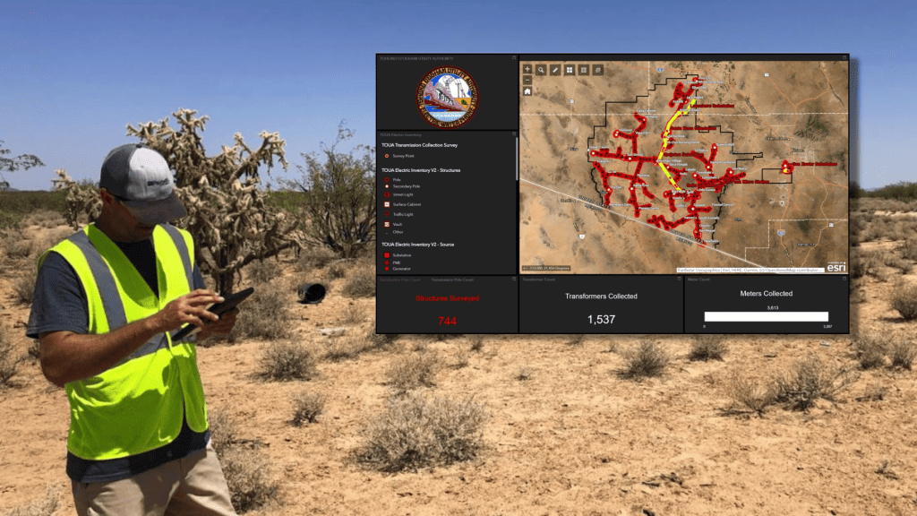
In the realm of utility services, accurate and up-to-date records are crucial for ensuring efficient operations, addressing customer needs, maintaining safety standards, ensuring continuity of service...
4D Global will be joining the IPWEA International Asset Management Congress, taking place from June 14-15, 2023 at the Gold Coast Convention and Exhibition Centre in Queensland.
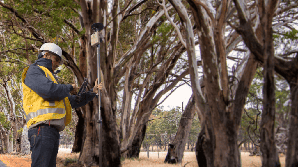
The global forestry industry is witnessing a paradigm shift in the way forests are managed and conserved, thanks to the groundbreaking innovations in GNSS..
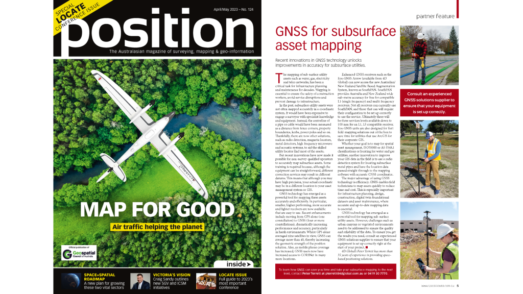
Subsurface utility assets, such as water, gas, electricity, and telecom networks, are essential for our daily lives. However, locating and mapping these assets can be a challenging task due to their h...
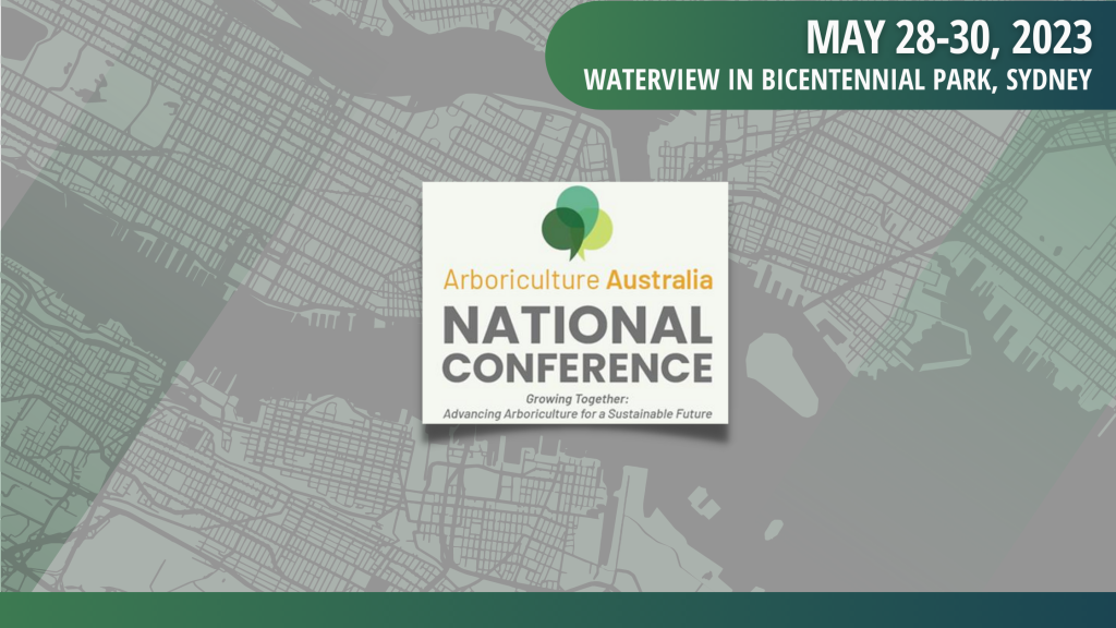
4D Global will be joining the Arboriculture Australia National Conference, taking place from May 28-30, 2023 at Waterview in Bicentennial Park, Sydney.
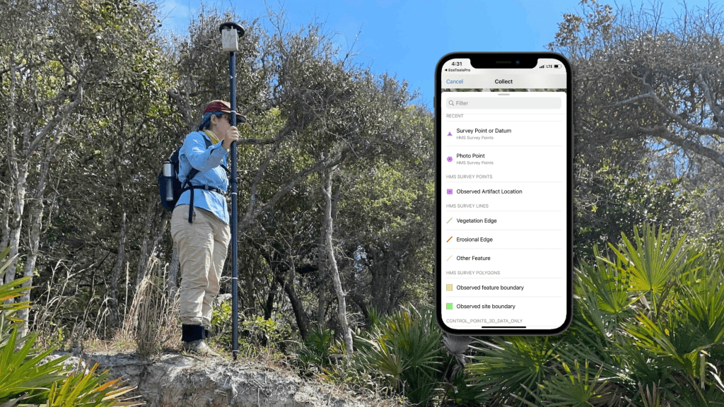
By using the Eos GNSS receivers to map erosion at archaeological sites, researchers can create highly detailed maps that show the extent and severity of erosion.